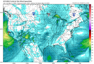
A sprawling Eastern storm, the second in a week, will soak the Mid-Atlantic and Northeast today and tomorrow, but its most serious threat will be wind-driven major coastal and tidal flooding that could be the highest seen in 18 years in some areas.
🌧 This expansive low-pressure system is currently spinning over the Ohio Valley, with a broad area of rain rotating around it from the Great Lakes and Mississippi Valley to the Tennessee Valley to the mid-Atlantic and Northeast.
This coastal and tidal flooding will peak early Saturday but may linger into later Saturday or even Sunday before winds turn offshore and allow water levels to gradually fall.
While the most significant flooding will occur at high tide, additional minor to moderate flooding may occur even at low tide in some areas.
☔ If that wasn’t enough, some of these areas are expected to pick up around an inch of rain.
With rivers slow to drain, this will only add water to the tidal/coastal flood headache.
It may also trigger local flash flooding in other parts of the Northeast not experiencing coastal/tidal flooding.
A number of locations are expected to see major flood crests along tidal rivers, such as the Delaware River, and the Chesapeake Bay.
In these areas, the flooding could not only flood typical streets near the water, but also submerge homes, businesses and vehicles in 2 to 4 feet of water.
Some of those flood crests could be among the highest seen in years.
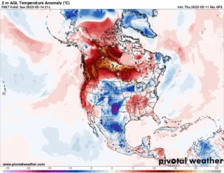
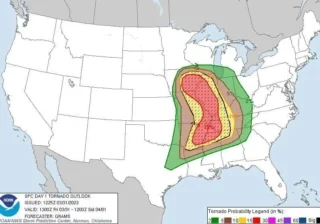
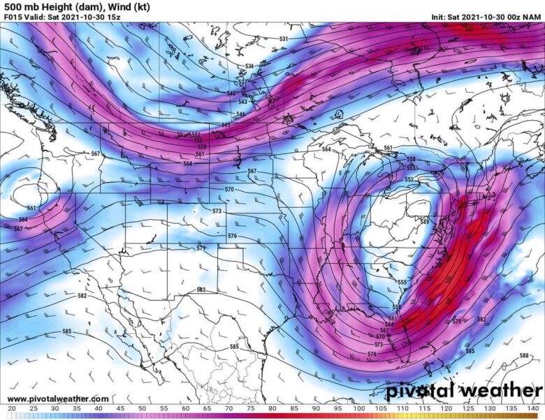
📸 Graphics provided by Pivotal Weather
#nextclima #easternstorm #flooding #flashflooding #northeast #easterncoast #delawareriver #chesapeakebay #ohiovalley #mississippi #greatlakes #tennesseevalley #midatlantic #severeweather #extremeweather