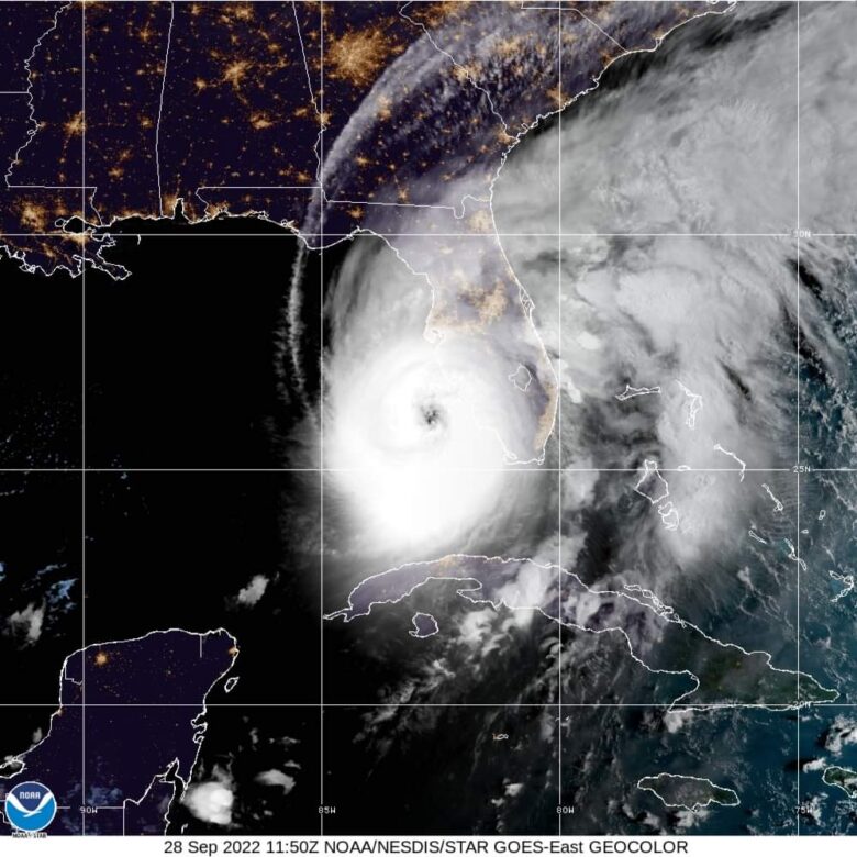
Ian is forecast to make landfall on the west coast of Florida as a catastrophic hurricane.
🌀 Ian is a category 4 hurricane on the Saffir-Simpson Hurricane Wind Scale.
The center of Ian is forecast to move over central Florida tonight and Thursday morning and emerge over the western Atlantic by late Thursday.
The minimum central pressure is 937 mb (27.67 inches) based on Air Force Hurricane Hunter dropsonde data.
🌬 Maximum sustained winds remain near 155 mph (250 km/h) with higher gusts.
Catastrophic wind damage is likely where the core of Ian moves onshore.
Hurricane conditions will begin along the west coast of Florida within the Hurricane Warning area later this morning, with tropical storm conditions beginning before daybreak.
☔️ Ian is expected to produce the following storm total rainfall:
Florida Keys and South Florida: 6 to 8 inches, with local maxima up to 12 inches.
Central and Northeast Florida: 12 to 18 inches, with local maxima up to 24 inches.
Eastern Georgia and Coastal South Carolina: 4 to 8 inches, with local maxima of 12 inches.
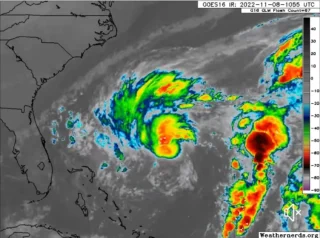
🌊 Swells generated by Ian are affecting the northern coast of Cuba, the northeastern coast of the Yucatan peninsula and the west coast of Florida.
Swells will increase along the east coast of Florida, Georgia, and South Carolina tonight and Thursday.
These swells are likely to cause life-threatening surf and rip current conditions.
Credits: NOAA