The remnants of Ex-Hurricane Danielle will reach the Iberian Peninsula by early next week, bringing little more than the rain and winds associated with any deep autumn depression to the north.
🇵🇹 The models are showing us heavy rain and strong winds in Portugal that will intensify from Sunday, with gusts that could blow up to 80 km/h, above all on the coast, with the arrival of the surface front.
The rain will remain in Portugal for some days and even after Danielle passes, the country will be affected by very active post-frontal systems, bringing rain also in the following days.
🌊 The waves will start to strengthen at the approach of the storm from this afternoon.
Ex-hurricane Danielle is losing intensity and will continue to lose it, while maintaining its path towards Portugal and Spain.
Tomorrow, on the west coast, the waves could be 1.5-2 metres high.
From Monday the wave height could increase, up to 3.5-4 metres.
🇪🇸 As the storm approaches, Sunday will be mostly cloudy in the northwest of Spain with a high probability of rain in the later afternoon.
The rest of Spain should be clear or sligthly cloudy.
Temperatures will rise in the northeast, especially in Cantabria.
Highs up to 35°C are forecast in large parts of central and southern Spain.
On Monday and Tuesday heavy rain is expected over most of the country, especially over NW Spain.
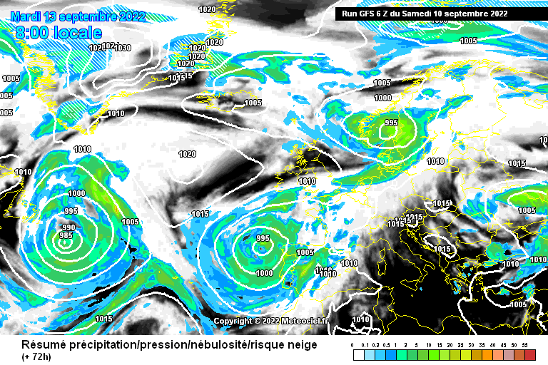
📸 Graphics provided by Meteociel
#nextclima #hurricanedanielle #tropicalstormdanielle #extratropicalstormdanielle #stormdanielle #danielle #atlanticocean #depression #storm #hurricane #portugal #spain #iberia #severeweather


