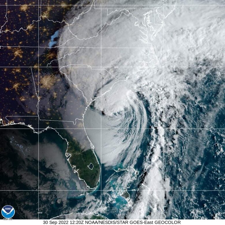
Hurricane Ian is forecast to affect the South Carolina coast and make landfall between Charleston County and Horry County on Friday.
🌬 Tropical storm force winds are lashing much of the coast of the Carolinas before Hurricane Ian is expected to make landfall.
Life-threatening storm surge and hurricane conditions are expected by Friday afternoon.
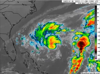
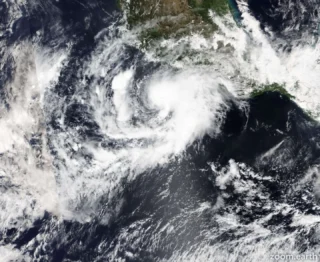
Still over water, Hurricane Ian has reached maximum sustained winds of 85 mph (140 km/h).
☔️ Ian is expected to produce the following storm total rainfall:
- Northeast South Carolina: 4 to 8 inches, with local maxima of 12 inches.
- Central South Carolina, North Carolina, and southern Virginia:
3 to 6 inches with local maxima of 8 inches across northwest North Carolina and southwest Virginia.
🌪 A few tornadoes are possible this afternoon and evening across eastern North Carolina, shifting northward into southeast Virginia overnight through early Saturday morning.
🌊 Swells generated by Ian and a nearby frontal system are affecting the east coast of Florida, Georgia, the Carolinas, and the northwestern Bahamas.
These swells are likely to cause life-threatening surf and rip current conditions.
Credits: NOAA and Windy