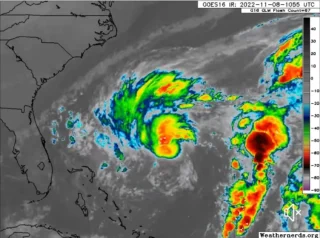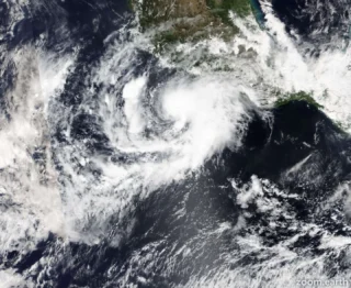
Tropical storm Danielle becomes the first Atlantic hurricane in 2022 with a possible impact to the Azores early next week.
🌀 Maximum sustained winds have increased to near 75 mph (120 km/h) with higher gusts. Some additional strengthening is forecast during the next couple of days.
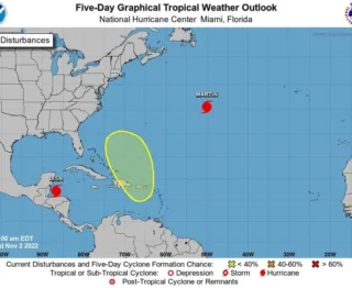
The hurricane is forecast to meander over the open Atlantic during the next 48 hours, then slowly turn toward the northeast early next week.
↗️ Hurricane Danielle might re-curve towards southern Greenland or its remnants head towards western Europe which would bring wet and windy weather to the UK.
There is still plenty of uncertainty.
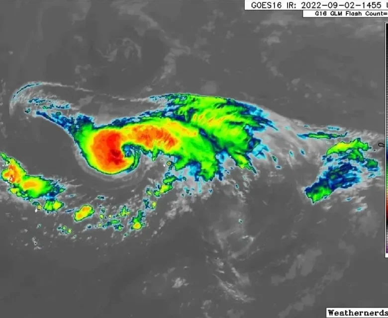
If the remnant low did head towards the Brest Peninsula or SW Britain it would bring large waves and swell which would coincide with the following weekend’s Spring Tides.
➡️ The ECMWF deterministic model shows ex-Danielle heading off north to Greenland and cooler air flowing over the UK to end the week which could bring a touch of frost to northern Scotland.
The GFS deterministic model shows a shift from the warm southerly flow to a cooler breeze as that same extratropical low just lingers close to the UK.
There is less movement from Danielle until later next weekend and the whole picture is complicated by another tropical cyclone appearing and almost chivvying it along, towards western Europe.
These are just two snapshots of possible outcomes.
📸 Graphics provided by Weathermodels.com and NOAA