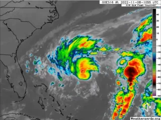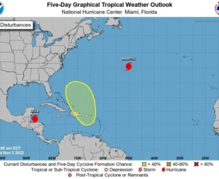
Hurricane Ian is forecast to become Category 4 in the Gulf of Mexico later this week and is threatening the Cayman Islands, Cuba and then Florida.
🌀 On the forecast track, the center of Ian is expected to pass near or west of the Cayman Islands today and near or over western Cuba tonight and early Tuesday.
Ian will then emerge over the southeastern Gulf of Mexico on Tuesday, pass west of the Florida Keys late Tuesday, and approach the west coast of Florida on Wednesday.
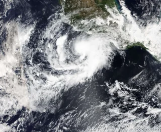
🌬 Maximum sustained winds are near 75 mph (120 km/h) with higher gusts.
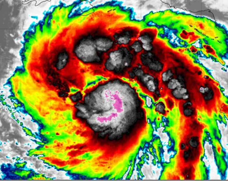
Rapid strengthening is expected during the next day or so and Ian is forecast to become a major hurricane tonight when it is near western Cuba.
It could reach Category 4 by Wednesday.
☔️ Heavy rainfall is expected to affect North Florida, eastern portions of the Florida Panhandle, portions of the Southeast and Mid Atlantic regions Friday and Saturday.
These rains may produce flash flooding and mudslides in areas of higher terrain over western Cuba.
A few tornadoes are possible late tonight and Tuesday across the Florida Keys and the southern and central Florida Peninsula.
🌊 Swells generated by Ian are affecting Jamaica and the Cayman Islands.
Swells will spread northwestward to the southwestern coast of Cuba and the coasts of Honduras, Belize and the Yucatan Peninsula of Mexico today and tonight.
Swell are expected to begin affecting the Florida Keys Tuesday and spread northward along the west coast of Florida through Wednesday.
These swells are likely to cause life-threatening surf and rip current conditions.
Credits: NOAA