Hurricane Larry is expected to cause dangerous surf and rip currents along western Atlantic shores later this week.
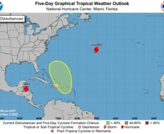
![]() The center of Hurricane Larry is located over the Atlantic Ocean about 830 miles (1340 km) southeast of Bermuda. Larry is moving toward the northwest near 10 mph (17 km/h), and this general motion is expected to continue through Wednesday. A turn toward the north-northwest and north with an increase in forward speed is forecast on Thursday. Interests in Bermuda should monitor the progress of Hurricane Larry. A tropical storm watch could be required for the island today.
The center of Hurricane Larry is located over the Atlantic Ocean about 830 miles (1340 km) southeast of Bermuda. Larry is moving toward the northwest near 10 mph (17 km/h), and this general motion is expected to continue through Wednesday. A turn toward the north-northwest and north with an increase in forward speed is forecast on Thursday. Interests in Bermuda should monitor the progress of Hurricane Larry. A tropical storm watch could be required for the island today.
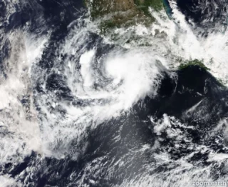
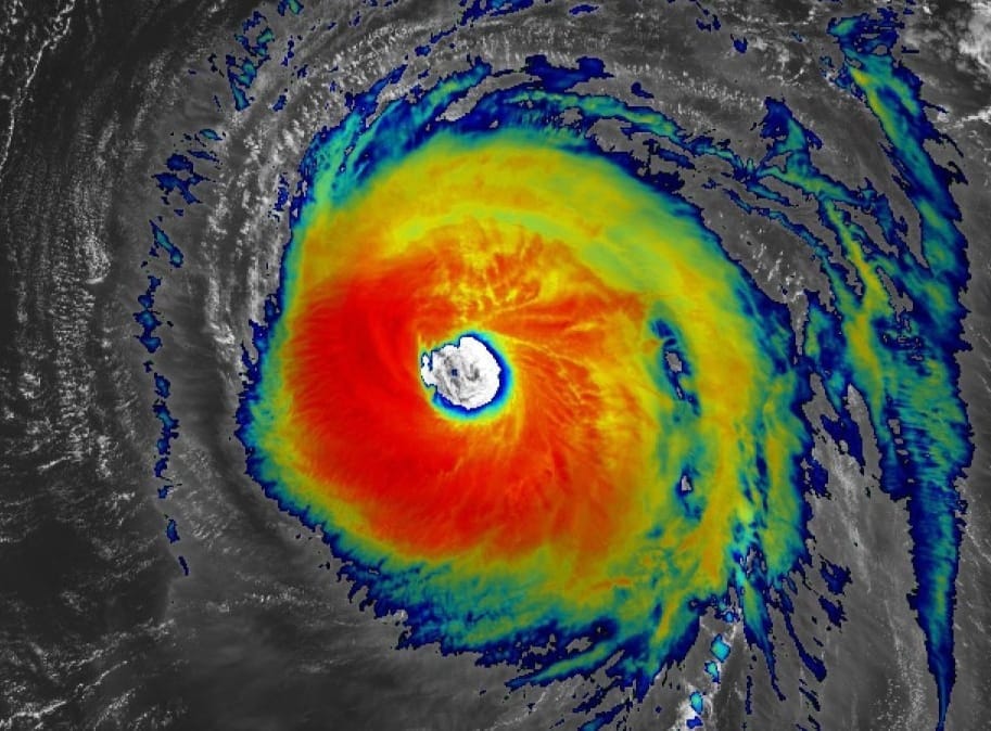
![]() Maximum sustained winds are near 120 mph (195 km/h) with higher gusts, a category 3 hurricane on the Saffir-Simpson Hurricane Wind Scale.Larry is a large hurricane. Hurricane-force winds extend outward up to 70 miles (110 km) from the center, and tropical-storm-force winds extend outward up to 185 miles (295 km). The estimated minimum central pressure is 958 mb (28.29 inches).
Maximum sustained winds are near 120 mph (195 km/h) with higher gusts, a category 3 hurricane on the Saffir-Simpson Hurricane Wind Scale.Larry is a large hurricane. Hurricane-force winds extend outward up to 70 miles (110 km) from the center, and tropical-storm-force winds extend outward up to 185 miles (295 km). The estimated minimum central pressure is 958 mb (28.29 inches).
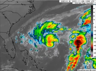
![]() Swells generated by Larry will continue to affect the Lesser Antilles, portions of the Greater Antilles, and the Bahamas through midweek, and impact Bermuda through the end of the week. Significant swells should reach the east coast of the United States and Atlantic Canada by midweek and continue affecting these shores through the end of the week. These swells are likely to cause life-threatening surf and rip current conditions.
Swells generated by Larry will continue to affect the Lesser Antilles, portions of the Greater Antilles, and the Bahamas through midweek, and impact Bermuda through the end of the week. Significant swells should reach the east coast of the United States and Atlantic Canada by midweek and continue affecting these shores through the end of the week. These swells are likely to cause life-threatening surf and rip current conditions.
![]() Credits: NOAA
Credits: NOAA
#nextclima#hurricane#hurricanelarry#larry#lesserantilles#bermuda#bahamas#atlanticcanada#eastcoast#greaterantilles#atlanticocean#atlantichurricaneseason#hurricaneseason#stormsurge#majorwaves#severeweather#extremeweather