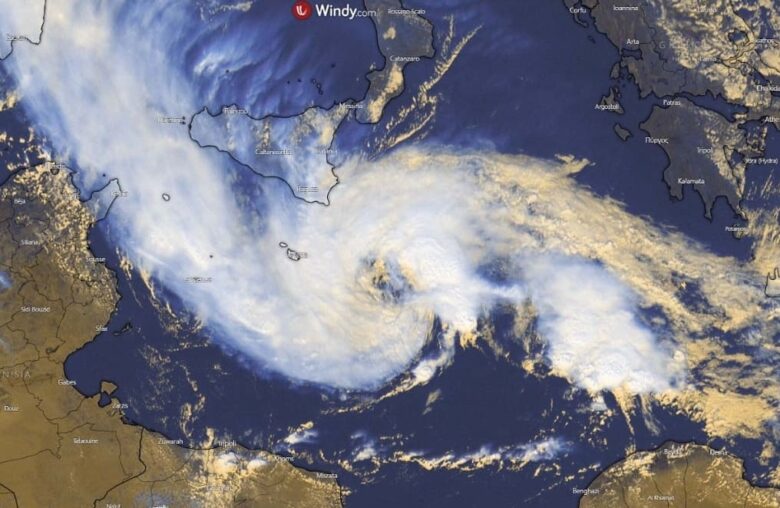
The strong tropical-like cyclone formed in the Mediterranean is forecast to intensify again from Thursday through Friday and could bring additional rain and floods to Sicily, as well as around Malta.
🌀 As the system deepens considerably, severe winds could also be another dangerous threat for the areas affected.
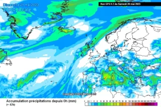
The weather model forecast hints at a possible 150-300+ mm of additional rain in some areas until Saturday.
The recent model guidance suggests its center will make a gradual turn towards the northwest, potentially impacting both Malta and Sicily again.
The system will then likely recurve back east-southeast into much warmer waters after Friday and could become even more intense and organized once it comes closer to the coast of northern Libya over the weekend.
⛈ Models indicate that MLCAPE will increase to the east and south of this storm and clusters of thunderstorms are forecast, whereas weak lightning activity is likely close to the center, where CAPE is low.
The main threat is extreme rainfall, also due to deep warm clouds within the south-easterly low-level flow that enters the storm.
Additionally, tornadoes are not ruled out due to strong low-level vertical wind shear.
The potential threat will likely continue on Friday.
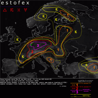
➡️ Close monitoring of the developing dangerous weather situation needs to be considered by the locals in Sicily, Malta, as well as northern Libya.
The gradual increase in confidence does suggest the Libyan coast could be affected, but the exact landfall area is still undefined.
Regardless of the time of occurrence and the exact position of the re-development of cyclone, its impact could be severe for the coastal areas.
Especially if it tracks closer or over Sicily which has been severely hit by destructive floods in recent days.
📸 Graphics provided by Windy
#nextclima #medicane #tropicallikecyclone #tlc #cyclone #mediterranean #italy #sicily #calabria #malta #libya #flooding #flashflooding #severeweather #extremeweather