A parade of Pacific storm systems will bring more soaking rain and some mountain snow to drought-stricken California and the West Coast into next week, but could also trigger flash flooding.
⛈ A persistent southward plunge of the jet stream over the eastern Pacific Ocean will steer additional storm systems toward the West Coast over the next several days.
This pattern should culminate with the strongest and wettest storm arriving early next week.
Northern California into the Pacific Northwest can expect moderate to heavy rain, gusty winds and high mountain snow from this next system.
☔ The National Weather Service has issued flash flood and debris flow watch from late Thursday into Friday for several burn areas in Northern California including the Dixie and North Complex burn scars.
On Sunday and Monday very heavy rainfall will accompany this storm in Northern California and parts of the Pacific Northwest since it will tap into a potent atmospheric river of moisture.
⚠️ Flash flooding and debris flows could become a major concern because of the heavier rain, especially in and around recent burn areas.
Many areas of Northern California generally north of Interstate 80, western Oregon and western Washington will likely pick up at least 2 inches of rain through Monday.
Windward locations in the coastal ranges of Washington, Oregon and Northern California as well as the northern Sierra foothills should see over 3 inches of rain.
Some of these areas might even pick up 5 to 10 inches of rain when all is said and done.
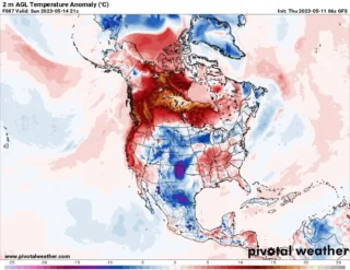
📸 Graphics provided by Pivotal Weather
#nextclima #pacificstorm #pacificocean #westcoast #westernus #california #oregon #washington #flooding #flashflooding
#debrisflow #heavyrain #rainfall #extremeweather #severeweather