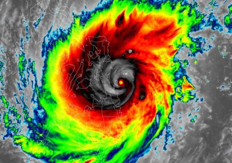
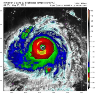
Rai, the 15th typhoon to hit the Philippines this year, weakened slightly from a Category 5 to a Category 3 storm after making landfall Thursday on Siargao Island, a popular tourist and surfing destination on the central east coast.
![]() Rai, positioned near 10.1N 119.9E, is currently crossing the Palawan province with maximum winds of 175 km/h (95 kt) and is on its way to South China Sea.The system has begun to reintensify once it exits the Philippines, Vietnam might be affected by rain and gusty winds in the following days.
Rai, positioned near 10.1N 119.9E, is currently crossing the Palawan province with maximum winds of 175 km/h (95 kt) and is on its way to South China Sea.The system has begun to reintensify once it exits the Philippines, Vietnam might be affected by rain and gusty winds in the following days.
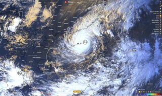
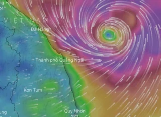
![]() Rai is moving across the Visayas region towards Palawan on Friday and is expected to emerge Saturday over the South China Sea, heading towards Vietnam.Typhoon should then move north-northeast and possibly impact the Hainan Island and Taiwan from the next week.
Rai is moving across the Visayas region towards Palawan on Friday and is expected to emerge Saturday over the South China Sea, heading towards Vietnam.Typhoon should then move north-northeast and possibly impact the Hainan Island and Taiwan from the next week.
![]() Graphics provided by Windy and PAGASA #nextclima#rai#typhoonrai#typhoon#visayas#palawan#chinasea#vietnam#hainanisland#taiwan#philippines#siargao#extremeweather#severeweather
Graphics provided by Windy and PAGASA #nextclima#rai#typhoonrai#typhoon#visayas#palawan#chinasea#vietnam#hainanisland#taiwan#philippines#siargao#extremeweather#severeweather


