Storm (Tempete) Claudio has been named by MeteoFrance and will bring a windy Halloween night through the English Channel, before another low mid-week will bring more rain and the risk of gales to the UK.
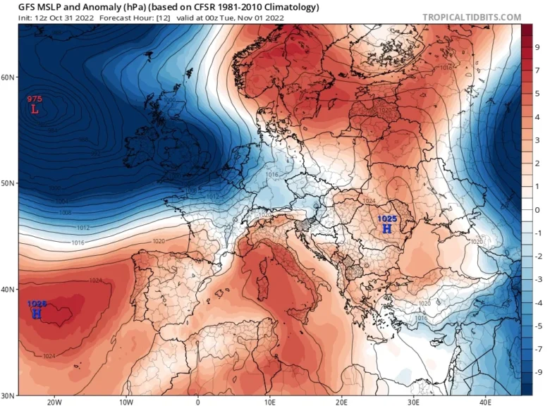
🌀 Monday night’s low pressure has been named by the Southwestern Group which includes MeteoFrance.
Claudio will bring westerly gales through the Channel with yellow wind warnings from Dorset to Kent and Amber warnings for NorthWest France with coastal gusts over 80mph forecast.
The Channel Islands inshore waters forecast mentions “increasing 4 to 6 by dusk, veering south-westerly 7 to severe gale 9 by midnight”.
The eastern end of the Channel “then increasing severe gale 9 or storm 10 for a time later.”
While the strongest winds are expected over the Channel Islands and northern France, parts of southern England may well see gales for a time overnight.
There will also be bands of heavy rain across the UK.
➡️ The next developing low pressure appears during Tuesday night out in the Atlantic and throws itself at the UK on Wednesday.
It will be called Antoni if any of the three national Meteorological Offices decide to name it.
Currently, the low centre is forecast to skim past NW Scotland and away north-eastwards in the middle of the week and there will be a spell of heavy rain and strong winds.
The severe winds and heavy rain are forecast to affect Northern Ireland on Wednesday morning, the Irish Sea and western Britain by lunchtime, extending over Scotland too.
The strong gusty winds will move over northern England, more of mainland Scotland and the Northern Isles by the evening.
High winds will continue through Wednesday night for the west coast and Central Belt of Scotland, as the wind and frontal rain reaches down to SE England.
📸 Graphics provided by Tropicaltidbits


