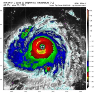
Super Typhoon #Chantu (#Kiko) has rapidly intensified during the past 6 hours and is now an Extremely Catastrophic Category 5 typhoon while passing along the coastal waters of Northern Cagayan.
![]() Its core is now endangering the province of Batanes particularly Batan Island, where its capital Basco is located. Its inner rainbands continues to spread across Cagayan and Isabela where occasional rains and gusty winds will be expected tonight.Chanthu is approximately 360 miles southeast of Taiwan’s southernmost tip on Friday morning and packing wind gusts of 270 km/h.
Its core is now endangering the province of Batanes particularly Batan Island, where its capital Basco is located. Its inner rainbands continues to spread across Cagayan and Isabela where occasional rains and gusty winds will be expected tonight.Chanthu is approximately 360 miles southeast of Taiwan’s southernmost tip on Friday morning and packing wind gusts of 270 km/h.
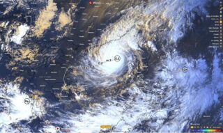
![]() Chantu is expected to hit the northeastern of Philippines on late Friday.Chantu is forecast to enter the eastern portion of the Balintang Channel tonight and will maintain its northwesterly track as it moves across the Eastern Babuyan Islands by early tomorrow morning.The core (eye & eyewall) of this catastrophic super typhoon will pass over or very close to Basco, Batanes between 6 to 10 AM tomorrow morning, and along Itbayat, Batanes between 12 to 4 PM.
Chantu is expected to hit the northeastern of Philippines on late Friday.Chantu is forecast to enter the eastern portion of the Balintang Channel tonight and will maintain its northwesterly track as it moves across the Eastern Babuyan Islands by early tomorrow morning.The core (eye & eyewall) of this catastrophic super typhoon will pass over or very close to Basco, Batanes between 6 to 10 AM tomorrow morning, and along Itbayat, Batanes between 12 to 4 PM.
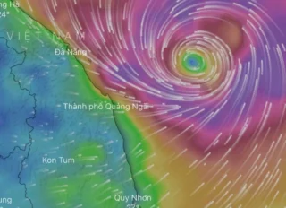
![]() Damaging catastrophic winds with heavy to extreme rainfall and high storm surge are expected along these islands.According to forecast, Chanthu is projected to continue northeast and affect Taiwan over the weekend.The eyewall of the super typhoon may come very close to the eastern coast of Taiwan, if not make landfall on Sunday. Typhoon can make landfall either on Hualien, Yilan or New Taipei, but the exact location is yet uncertain.
Damaging catastrophic winds with heavy to extreme rainfall and high storm surge are expected along these islands.According to forecast, Chanthu is projected to continue northeast and affect Taiwan over the weekend.The eyewall of the super typhoon may come very close to the eastern coast of Taiwan, if not make landfall on Sunday. Typhoon can make landfall either on Hualien, Yilan or New Taipei, but the exact location is yet uncertain.
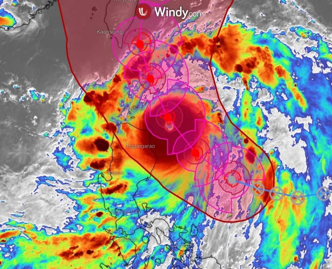
![]() Graphics provided by Windy and PAGASA
Graphics provided by Windy and PAGASA
#nextclima#chantu#typhoon#supertyphoon#typhoonchantu#kiko#typhoonkiko#philippines#taiwan#taipei#hualien#yilan#basco#batanes#balintangchannel#babuyanislands#cagayan#isabela#batanisland#severeweather#extremeweather