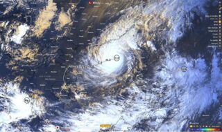
One of the worst typhoons in decades, Mawar, gains strength after thrashing Guam, becoming a Super Typhoon.
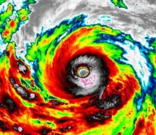
🌀 Japan Meteorological Agency has upgraded Mawar into a Super Typhoon, meaning that its maximum sustained winds were at least 150 miles per hour, as the storm moved over open water.
The storm had packed Category 4-level winds of about 140 miles per hour at just prior to midnight local time on Wednesday, as it passed over Guam.
Most of the island saw a foot of rain, with some areas pummeled by nearly 2 feet of rain.
That is the most rainfall they’ve had in a 24-hour period.
➡️ Mawar is the strongest cyclone in 21 years to hit the island and is expected to continue to generate tropical storm-force winds before weakening in the next few hours.
The storm had moved 105 miles northwest of Guam as of 11 a.m. local time, but typhoon warnings are still active.
The super typhoon appears poised to re-intensify over the Philippine Sea as it moves WNW.
It could regain strength and, according to forecast models, could head west toward the Philippines and Taiwan.
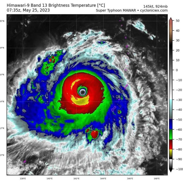
📸 Graphics provided by cyclonicwx.com and PAGASA