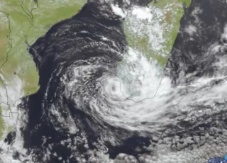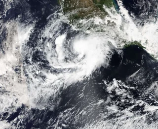
Powerful Tropical Cyclone Freddy, a long-lived storm that was churning westward across the Indian Ocean on Saturday more than a week after forming near Indonesia, is expected to continue taking an unusual track toward Madagascar next week, as the equivalent of a Category 3 or 4 hurricane.
🌀 As of Saturday afternoon, local time, Freddy was churning several hundred miles east of Madagascar and was categorized as an “intense” tropical cyclone by Meteo France La Reunion, the government agency responsible for tracking storms in this part of the world.
It was estimated that the cyclone’s maximum sustained winds were about 115 mph (about 185 km/h), with gusts to about 161 mph (about 260 km/h).
Those sustained winds are equivalent to a Category 3 major hurricane on the Saffir-Simpson Hurricane Wind Scale.
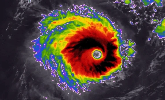
➡️ Freddy should largely maintain its strength through the weekend, then it may lose some wind intensity on final approach to Madagascar around Tuesday of next week.
Despite that, it will still probably make landfall as the equivalent of a Category 3 or 4 hurricane.
A Category 3 hurricane has maximum sustained winds of at least 111 mph (178 km/h).
☔️ While the exact track of Freddy prior to landfall, and where exactly it will come ashore, are still uncertain at this time, it appears likely that the country will sustain significant impacts.
Heavy rain, flooding and damaging winds will be possible in Madagascar from Tuesday through Thursday of next week.
Total rainfall from Freddy could exceed 12 inches (about 305 mm) over the mountainous terrain, and wind gusts as high as 160 mph (about 250 km/h) will be possible near the point of landfall.
📸 Credits by Accuweather and Meteo France La Reunion