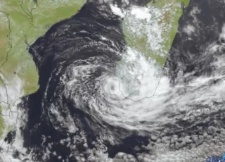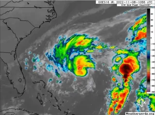
Tropical Storm Karl is expected to strengthen today as it moves slowly over the southwestern Gulf of Mexico.
🌀 At 06:00 UTC on October 12, the center of Tropical Storm “Karl” was located 225 km (140 miles) NE of Veracruz, Mexico and 265 km (165 miles) E of Tuxpan, Mexico.
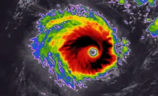
Data from an Air Force Reserve Hurricane Hunter aircraft support maximum sustained winds of 45 mph (70 km/h) with higher gusts.
Karl was moving toward the north-northwest near 9 km/h (6 mph), and this motion is expected to continue through today.
➡️ On the forecast track, Karl will be approaching the coast of Mexico, near Cabo Rojo and Roca Partida, on October 13.
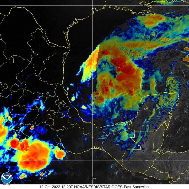
Heavy rainfall could produce flash flooding in the Isthmus of Tehuantepec and in the southern Sierra Madre Oriental mountains and adjacent coastal areas with possible mudslides in areas of higher terrain.
Swells generated by Karl are expected to affect the Mexican coastline for the next few days.
These swells are likely to cause life-threatening surf and rip current conditions.
📸 Credits: NOAA and Tropicaltidbits