Typhoon Muifa is expected to make landfall in Zhejiang Province in China tomorrow, September 14, with maximum sustained winds of 148 km/h (92 mph).
⚠️ The situation with Typhoon Muifa has become more dangerous over the last 24 hours.
China’s typhoon alert has been upgraded to orange, the second-highest level on the four-tier, colour-coded weather warning system.
The storm does not seem to be decaying as rapidly as originally forecast and the track has shifted to indicate a direct hit on the Shanghai/Ningbo area tomorrow as a strong Category One (Saffir Simpson Scale) storm.
🌪 Over the next three days, heavy rains are expected to hit parts of Taiwan, Zhejiang, Shanghai, Jiangsu, Shandong and Liaoning.
Gale-force winds will lash coastal areas of Taiwan, Zhejiang, Fujian, Shanghai and Jiangsu from now to Wednesday afternoon.
Before approaching China, Muifa brought heavy downpours and gale-force winds to Japan’s Okinawa, causing disruption to transportation services in the region.
Waves of up to five metres (16 feet) are expected near Shanghai, China’s busiest container seaport.
Shanghai will suspend some operations of its port from the next few hours and halt all operations on Wednesday morning.
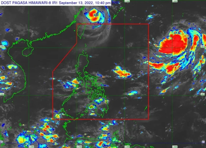
📸 Graphics provided by PAGASA