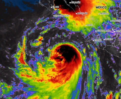
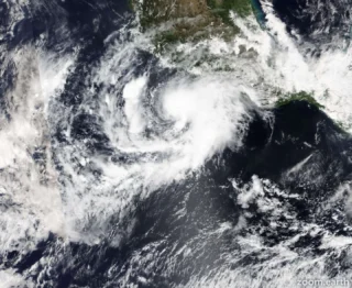
Hurricane Kay lashed Mexico’s Pacific coast with rain Tuesday as it moved northward toward the Baja California Peninsula.
☔️ Flooding rainfall will be possible on the Baja Peninsula as the storm approaches.
Widespread rainfall amounts of 4-8 inches (100-200 mm) are possible.
Higher amounts of 8-12 inches (200-300 mm) can also occur for portions of the peninsula, with the potential up to 20 inches (500 mm) in some locations.
🌬 Tropical-storm-force wind gusts in outer rainbands are likely to continue along the coast of southwestern Mexico today.
Tropical storm conditions are expected within the warning area in the southern Baja California peninsula beginning Wednesday morning.
Tropical storm conditions are possible in the watch area in the southern Baja California peninsula by late Wednesday.
🌊 Swells generated by Kay will continue to affect portions of the coast of southwestern Mexico during the next couple of days.
Large swells are beginning to reach the southern portion of the Baja California peninsula and are expected to spread northward and into the Gulf of California during the next few days.
These swells will likely cause life-threatening surf and rip current conditions.
📸 Credits: NOAA


