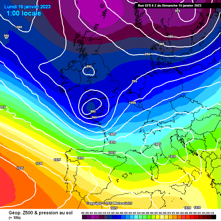
In the next few hours, two winter storms, Gerard and Fien, will bring strong winds, heavy rain and snow over SW Europe: firstly (Tempête) Gerard, named by Meteo France which will deepen in the English Channel on Sunday night and secondly (Borrasca) Fien named by AEMET passing by early on Tuesday.
1️⃣ Storm Gerard is forecast to move west to east along the English Channel during Sunday night with very rough seas and strong winds for the Channel Islands.
There are some differences in the model output about where will see the strongest winds and highest gusts.
Mostly this will be over the north coast of France but could affect Dorset on Sunday evening and the Channel Islands overnight, if the low is slightly further north.
This would also bring more precipitation to southern England and more interaction with the cold air.
Linking back from Strom Gerard will be another low centre.
Spain will feel the effects of Gerard, with stronger winds, rough seas off the north coast and heavy rain with hill snow.
2️⃣ However, Fien was named as the most impactful part of the winter storm.
This forms in the early hours of Tuesday and will be accompanied by snowfall at low levels in the centre and northern half (of Spain), where snowflakes could even be seen at sea level.
AEMET Fien will affect a good part of the northern half of the peninsula, which will remain for a good part of next week.
This situation will peak on Tuesday.
The flow, from the northwest of the peninsula, a very cold air mass of origin maritime-polar, will spread in subsequent days to the rest of the Peninsula and the Balearic Islands.
There will be intense, cold NW winds and widespread rain accompanied by snow, even to low levels by midweek.
📸 Graphics provided by Meteociel


